ArcGIS Tutorials
Some tutorials we’ve done for ArcGIS

ArcGIS Pro Tutorial – 2D to 3D
August 2nd, 2024 This is a recording of the ArcGIS Pro Tutorial, that we held in-person during Week 3, Semester 2

DRH Introduction Tutorials: ArcGIS Part 1 & 2
March 8th, 2024 These are recordings of our Introduction Tutorials on ArcGIS, that we held in-person during Week 2. These tutorials are an introduction into ArcGIS looking at the basic tools and...

Recap of DRH Tutorials – Semester 2, 2023
August 11th, 2023 Below are pdf files that recap the beginner and advanced tutorials we held during Week 3 & 4 of Semester 2, 2023

Recap of DRH Tutorials – Semester 1, 2023
April 27th, 2023 Below are pdf files that recap the beginner and advanced tutorials we held during Week 3 & 4 of Semester 1, 2023

How to access and Install ArcGIS Pro (Updated 2023)
March 21st, 2023 This Tutorial includes: Requesting Access to an ArcGIS Account, Downloading ArcGIS Pro onto your own Windows Computer (after request has been approved).

ArcGIS Introduction Tutorial
December 10th, 2022 This Tutorial includes: Data Acquisition, Basic Navigation, Mapping Tools

Making Maps using ArcGIS Pro
December 10th, 2022 This Tutorial includes: Quick recap of data acquisition, saving your files, and opening them on ArcGIS Pro, Marking Points using Feature Class, Making, Ped Sheds using the Buffer...

Data Acquisition Finding Spatial (Map) Info
December 10th, 2022 This Tutorial includes: Where to find Geographic Data - Geomaps, AUP viewer, LINZ, Waka kotahi, other Councils etc., Downloading Geographic Data, Tips for saving all your map...

ArcGIS Pro Tutorial
May 17th, 2022 This tutorial includes the following: Off-campus access: ArcGIS Pro Download (Windows Only), ArcGIS Online (Windows or Mac) - Nominated Courses or By Request, FlexIT (Windows or Mac)...

Mapping Tutorial
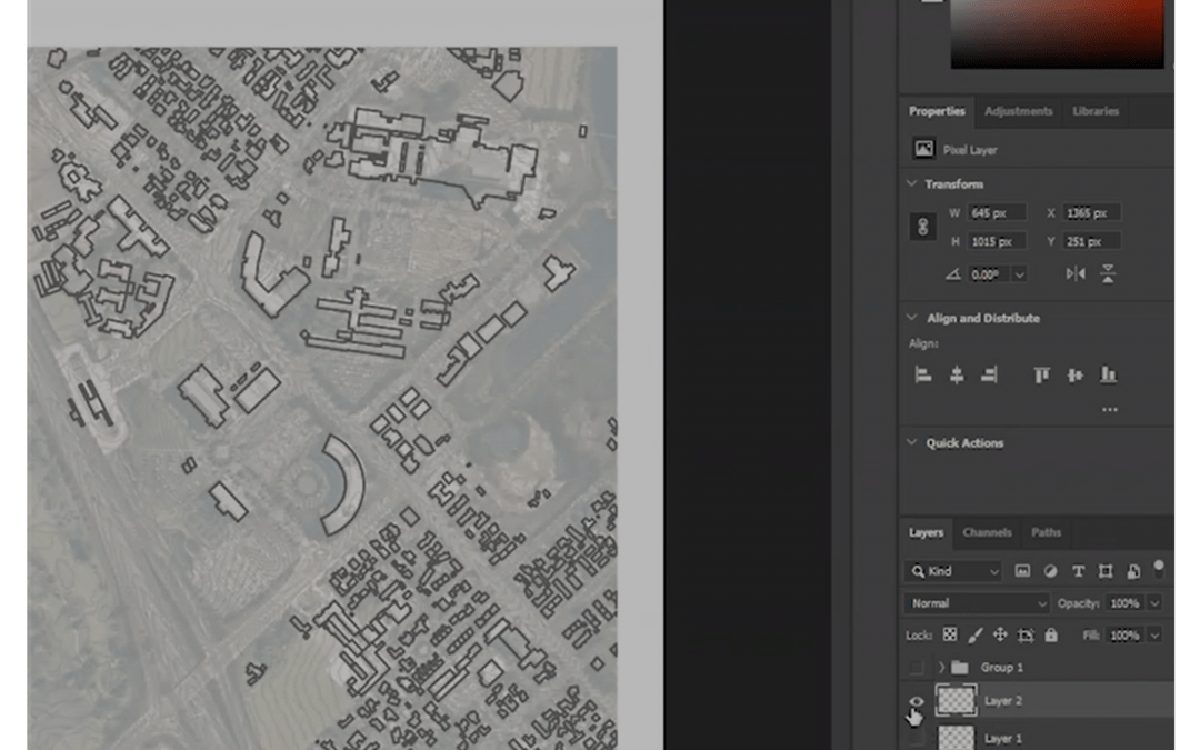
September 15th, 2021 This tutorial includes the following: Export maps from Geomaps, Scaling maps in Autocad, Editing maps in illustrator (lines), Editing in photoshop (images and colours)

ArcGIS Tutorial
August 14th, 2020 ArcGIS is a geographic information system (GIS) for working with maps and geographic information, created by Esri. ArcMap is the main component of Esri's ArcGIS suite of geospatial...